Mapping King’s Cross - Drawings
2016
Digital print, 32 pp
2016
Digital print, 32 pp
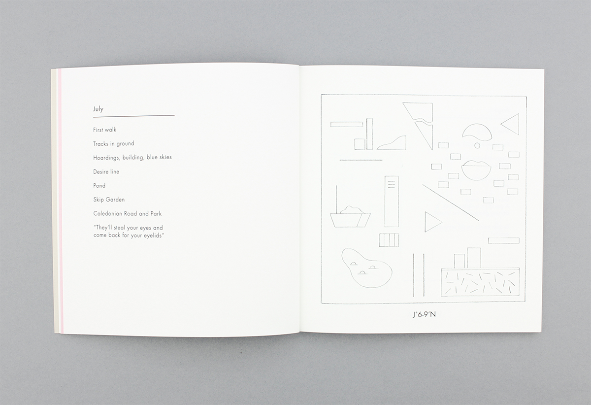
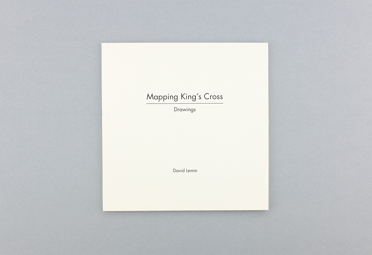
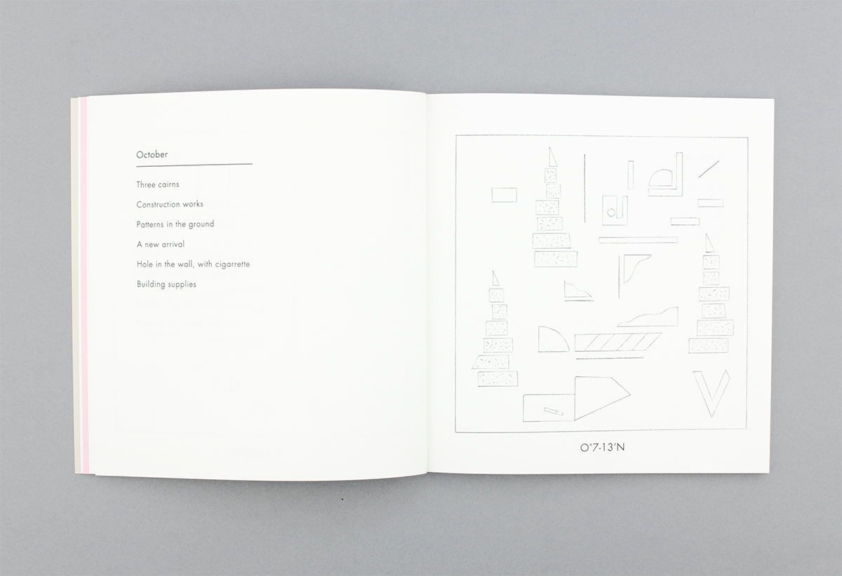
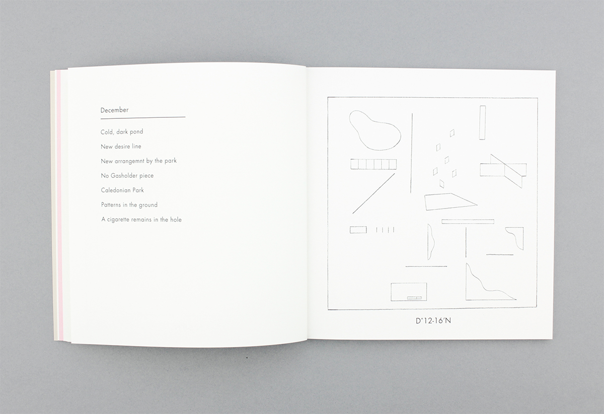
A book of drawings created for “Mapping King’s Cross”, an exhibition at House of Illustration which was the culmination of a six-month residency there between July - December 2015.
On research visits I charted the changing landscape of King’s Cross, looking for relationships between buildings, objects and the behaviour of people in the landscape. These experiences or episodes are catalogued here as records of my walks around the site, acting as temporal and spatial diagrams of my observations.
On research visits I charted the changing landscape of King’s Cross, looking for relationships between buildings, objects and the behaviour of people in the landscape. These experiences or episodes are catalogued here as records of my walks around the site, acting as temporal and spatial diagrams of my observations.
